
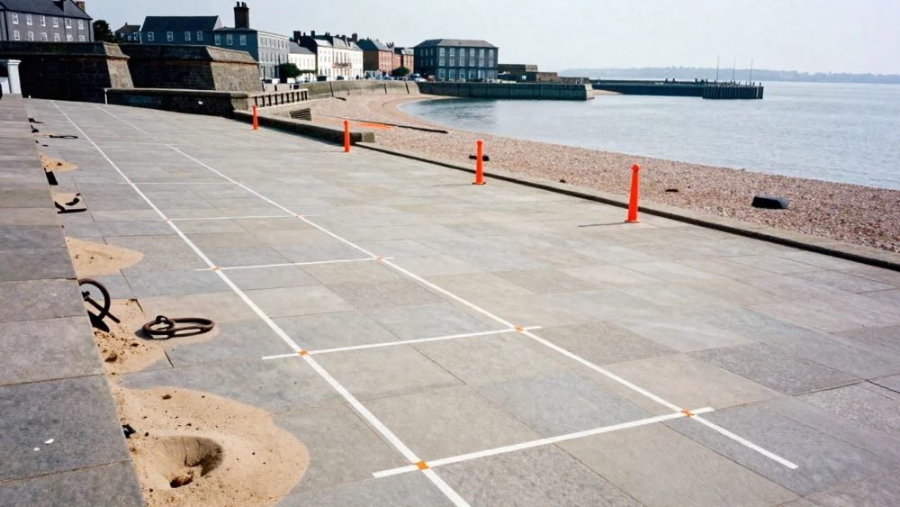
GPR Surveys
Get in TouchAt Portsmouth Surveys, we specialise in providing GPR surveys to accurately detect and map subsurface features. Our ground penetrating radar technology is essential for construction, archaeology and utility locations, offering a non-destructive means to evaluate and visualise below-ground conditions.
Whether you need to locate buried utilities or assess ground conditions for new developments, our team provides reliable and detailed results. Contact us today to arrange your GPR survey.
How Much Do GPR Surveys Cost?
GPR surveys typically cost between £500 and £1,500, depending on the survey area, site accessibility, and the depth of investigation required.
Factors such as the presence of utility lines or reinforced concrete can influence the survey's cost and complexity, as they may necessitate additional scanning techniques or equipment, such as higher-frequency antennas for better resolution.
Larger sites or those with complex structures may fall towards the higher end of this range, especially if a multi-layer analysis is needed for detailed subsurface mapping. At Portsmouth Surveys, we provide tailored quotes based on your specific needs and can discuss the scope during our initial consultation.
Our team is experienced in using 3D visualisation tools to create comprehensive reports. Contact our team to request a customised quote for your project.
What Are the Benefits of GPR Surveys?
GPR surveys offer distinct advantages for a range of projects. At Portsmouth Surveys, we provide:
Non-destructive testing: Safely analyse subsurface features without excavation, minimising site disruption and preserving historical or sensitive areas.
Real-time data collection: Immediate visualisation of subsurface conditions is achieved with high-frequency radio waves, allowing prompt decision-making on-site.
Versatile applications: Suitable for utilities, archaeology, and foundations, accommodating diverse materials like concrete, asphalt, and soil without compromising on performance.
Accurate results: High-resolution data ensures precision in identification of subsurface anomalies, aiding compliance with building regulations and reducing the risk of costly errors.
These benefits make GPR surveys an essential tool for effective planning and execution in many industries, including construction, environmental assessment, and civil engineering. Contact us today to learn more about how our GPR surveys can assist your project.
What Does a GPR Survey Involve?
A GPR survey involves several stages that are expertly managed by our team at Portsmouth Surveys. The process typically includes:
Site assessment: Evaluate the area and determine the necessary survey parameters.
Data collection: Use ground penetrating radar equipment to transmit and receive signals through the ground.
Data analysis: Interpret the radar signals to map the structure and features beneath the surface.
Reporting: Provide a report detailing findings and insights for your application.
This method ensures accurate and practical information to support your project requirements.
How Long Does a GPR Survey Take?
The duration of a GPR survey can vary, but most projects are completed within one to three days. Time frames are influenced by factors such as site size, depth of investigation required, and subsurface conditions.
For instance, a survey assessing utility lines in a large commercial property may take longer than a small residential plot due to extensive data collection over varied terrain. We use advanced equipment, such as 400 MHz and 900 MHz antennas, to ensure precise data acquisition.
Our team also adheres to standards like PAS 128, which guides us in providing detailed subsurface maps efficiently. By coordinating with your schedule, we aim to minimise disruption.
Get in touch to discuss your project timeline and how we can help.
Why Choose Portsmouth Surveys for GPR Surveys?
Choosing Portsmouth Surveys for your GPR surveys guarantees expert service backed by industry experience. Ground Penetrating Radar (GPR) allows us to locate underground utilities, voids, and structural elements without excavation.
We use advanced radar systems like the Mala ProEx and GSSI SIR-4000, which deliver reliable data and detailed subsurface images, critical for construction planning and archaeology. Our thermal probes and electromagnetic interference analysis complement these tools to provide comprehensive insights into subsurface conditions.
Clients include commercial developers, utility companies, and municipal agencies.
Our dedicated team uses the latest radar technology and methodologies, ensuring the highest standards of accuracy and safety. We adhere to BS 5930 for subsurface investigations and use GPS integration for precise site mapping, crucial in urban environments.
We pride ourselves on our detailed reports and commitment to client satisfaction. Call us today to experience professional ground radar surveying.
Frequently Asked Questions
How do I maintain the data from a GPR survey?
It is crucial to ensure that all digital files and hard copies of your GPR survey data are securely stored. Regular updates and backups will preserve the integrity of the information for future reference or audits.
What guarantee comes with a GPR survey?
We are committed to providing accurate and reliable results. While no guarantees can be offered on the findings of all natural conditions, our equipment and methodologies are regularly calibrated and tested for precision.
Which areas do you cover for GPR surveys?
We provide our GPR survey services , ensuring expert coverage and prompt service to all clients within this area.
What is the lead time for booking a GPR survey?
Our lead times vary based on current demand, but we typically recommend booking your GPR survey two to three weeks in advance to ensure availability.
Get a Free Quote for GPR Surveys
At Portsmouth Surveys, we are ready to assist with your GPR survey needs. Contact our team today to discuss your requirements and receive a free, no-obligation quote.