
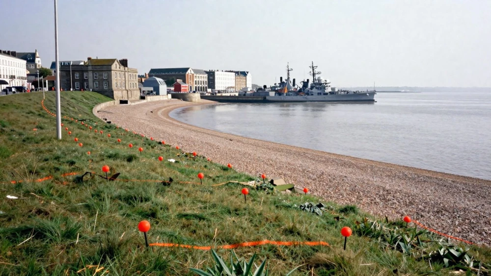
Topographical Surveys
Get in TouchAt Portsmouth Surveys, we specialise in delivering topographical surveys , capturing precise measurements and land details to assist with planning and development projects. Our expert team employs the latest surveying technology to gather accurate data on terrains, boundaries, and existing structures.
We serve a wide range of clients including architects, engineers, and developers, ensuring all site-specific requirements are met with precision and efficiency. Get in touch today to discuss your project and benefit from our expertise.
How Much Do Topographical Surveys Cost?
Topographical surveys typically cost between £500 and £1,500. This price range depends on various factors including the size of the land, complexity of the terrain, and specific client requirements.
Larger areas with intricate features or steep slopes may require additional time and resources, influencing the overall cost.
We use modern equipment such as total stations and GPS systems to accurately capture elevations, location features, and contours. For projects that require higher precision, we employ aerial drone surveys or LIDAR technology to efficiently collect data over widespread areas.
Projects might also necessitate adherence to standards like the RICS specification for detailed accuracy and consistency, which can affect pricing.
Our pricing is competitive and reflects the nature of our services, which include detailed mapping and reports. For an accurate quote tailored to your project, contact us today.
Book Topographical Surveys Today
What Are the Benefits of Topographical Surveys?
Topographical surveys offer several benefits, providing detailed insights into a site's terrain and characteristics. They are essential in the early stages of any development project, offering crucial data that informs construction plans and site management.
For instance, by accurately mapping land boundaries, these surveys help prevent legal disputes related to property lines. They also allow us to identify both natural features, like slopes and waterways, and man-made structures such as roads and buildings, which can impact design decisions.
Additionally, the surveys supply vital information needed for planning and zoning applications, ensuring compliance with local regulations. They help detect potential site constraints, such as flood zones or soil instability, and consider environmental factors that might affect the project.
By choosing Portsmouth Surveys, you ensure a thorough understanding of your site's topography, aiding in effective project planning and execution. Contact us today to learn more about how our surveys can benefit your development needs.
How Are Topographical Surveys Conducted?
Topographical surveys are conducted through a process, combining advanced technology and precise measurement techniques to ensure reliable outcomes.
Initial project briefing and scope definition: This phase involves detailed discussions with the client to understand their requirements and define the scope of work, ensuring all project objectives are met.
Use of total stations and GPS equipment to gather data: Total stations provide precise angle and distance measurements, while GPS equipment offers accurate positional data, crucial for creating a detailed terrain model.
Creation of detailed maps and digital models: Using the collected data, we generate comprehensive topographical maps and 3D digital terrain models employing software like AutoCAD and GIS.
Verification and quality checks of collected data: Rigorous checks are conducted to confirm data accuracy, ensuring compliance with both RICS and Ordnance Survey standards.
This methodical approach not only provides essential information for any construction or land development project but also supports efficient planning and decision-making. Contact us to discuss your topographical survey needs.
How Long Does a Topographical Survey Take?
The duration of a topographical survey depends on the site's size and complexity, typically ranging from one to five days. Larger or more complex sites may require additional time for data collection and analysis.
Factors such as terrain type and accessibility can impact the survey length, with urban sites often needing more careful planning around existing infrastructure. We use advanced surveying equipment like total stations and GPS receivers to ensure precise measurements.
The inclusion of other related works, such as detailed boundary surveys or utility mapping, can extend the timeline further. Client needs for specific standards, such as meeting BIM Level 2 requirements for integration into sophisticated planning software, also play a role.
We strive to complete surveys efficiently while maintaining our commitment to accuracy and detail. Contact us to discuss your project's specific timeline and requirements.
Why Choose Portsmouth Surveys for Topographical Surveys?
At Portsmouth Surveys, we bring expert knowledge and precise technology to every topographical survey . Our skilled surveyors use state-of-the-art equipment such as total stations and GPS rovers to capture accurate data.
We adhere to industry standards set by the Royal Institution of Chartered Surveyors (RICS), providing detailed contour maps, boundary delineations, and elevation data that are critical for architects, planners, and developers alike.
Our surveys are suitable for a range of projects including residential, commercial, and infrastructure developments. By providing precise topographical data, we help resolve potential land issues and inform design decisions.
With flexible timescales tailored to your requirements, we ensure that your planning and development ventures start on solid ground. Contact us to see how our skills can benefit your project.
Speak to a Topographical Surveys Expert
Frequently Asked Questions
How can I prepare my site for a topographical survey?
Ensure all necessary permissions are in place and clear access to the site. It helps if large obstructions are removed to facilitate accurate measurements.
What equipment do you use for topographical surveys?
We use total stations, GPS units, and 3D laser scanners to capture precise data, offering you a highly detailed view of your site.
What is included in the topographical survey price?
The cost includes field data collection, mapping, and reports. Additional services may incur extra charges.
How do I book a topographical survey?
Contact Portsmouth Surveys directly to discuss your requirements and schedule your survey. We're here to assist with any questions you may have.
What types of projects require topographical surveys?
Projects like new builds, extensions, and infrastructure developments benefit from topographical surveys to inform planning and design decisions.
Get a Free Quote for Topographical Surveys
To ensure precise outcomes for your project, contact us today to arrange a topographical survey. Our team is ready to provide a tailored quote and answer any questions.