
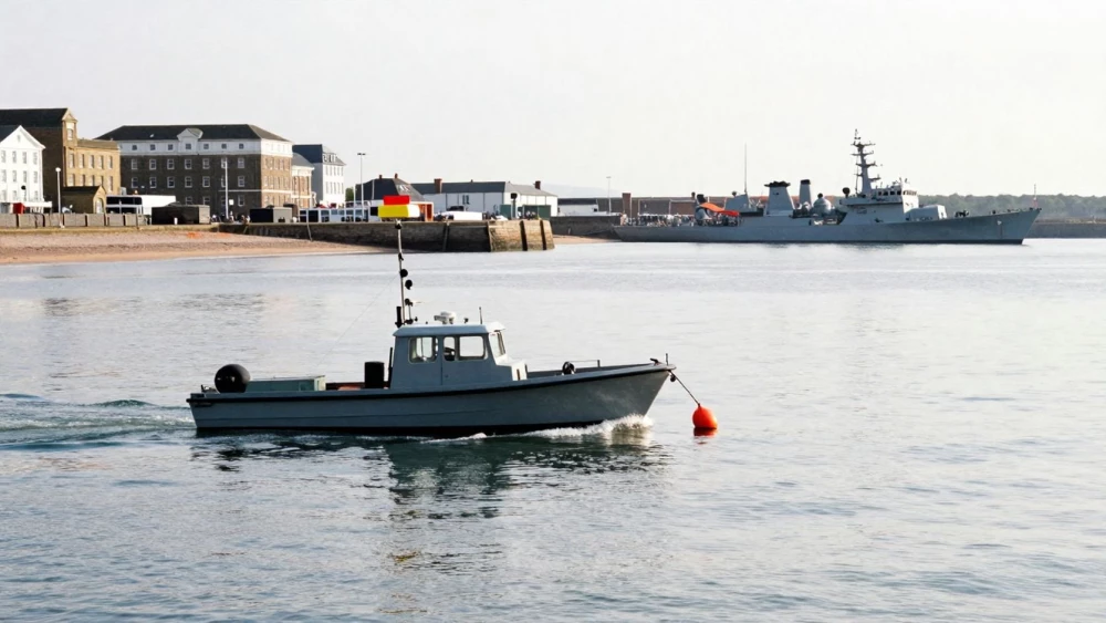
Hydrographic Surveys
Get in TouchAt Portsmouth Surveys, we specialise in providing precise hydrographic surveys to deliver accurate underwater measurements and mapping. Our surveys use advanced sonar equipment to assess seabed conditions, measure water depths, and identify underwater obstructions.
These services are essential for marine construction, navigation safety, and environmental assessments. We cater to a variety of clients including port authorities, engineering firms, and environmental agencies in .
Contact us today to arrange your survey.
Book Hydrographic Surveys Today
How Much Does Hydrographic Surveying Cost?
Hydrographic surveys typically cost between £1,500 and £5,000, depending on the complexity and size of the survey area. The cost is influenced by factors such as the type of survey required, the equipment used, and the data analysis involved.
We use advanced technologies like multibeam echo sounders and single-beam echo sounders for different survey depths, ensuring precise measurements. Additional costs may arise from charting, sediment sampling, or underwater mapping, which require state-of-the-art software for detailed interpretation.
Projects can vary from mapping harbours and channels to inspecting submerged pipelines and assessing erosion around piers. The duration of a survey can range from one to several days, depending on the area and depth of analysis.
For a specific quote tailored to your needs in , get in touch with our experienced team.
What Are the Benefits of Hydrographic Surveys?
Hydrographic surveys offer numerous advantages by using specialised equipment like single beam and multibeam echo sounders, which measure water depth with precision.
Accurate Navigation: Ensures safe passage for vessels by identifying hazards like submerged rocks or shipwrecks. Surveys typically follow International Hydrographic Organization (IHO) standards for data quality, ensuring reliability.
Informed Planning: Provides crucial data for construction and dredging projects, determining sediment composition and seabed characteristics. This information helps in designing structures like piers and breakwaters, ensuring they are built to withstand local conditions.
Environmental Monitoring: Assesses the impact of human activities on marine ecosystems, monitoring sediment movement and water quality. Analysis often includes water sampling and sonar imaging to track changes over time.
Resource Management: Aids in managing coastal and marine resources efficiently, supporting activities like fishing and renewable energy installations by assessing the best locations for sustainability.
Contact Portsmouth Surveys today to leverage these benefits for your next project.
What Regulations Apply to Hydrographic Surveys?
In the UK, hydrographic surveys must comply with the standards set by the UK Hydrographic Office (UKHO) and the Maritime and Coastguard Agency (MCA). These standards often include adherence to the International Hydrographic Organization's (IHO) S-44 standards, which specify the accuracy and resolution required for different types of hydrographic data.
Surveys are conducted following international guidelines to ensure accuracy and reliability. We employ multi-beam echo sounders and side-scan sonar systems to meet these specifications, collecting data on seabed features and water depth with precision.
Moreover, compliance with the Marine Management Organisation (MMO) regulations may also be necessary for certain projects, particularly if they impact marine conservation areas. Our team is well-versed in these regulations, ensuring all surveys meet required compliance.
By understanding and applying these requirements, we provide data that supports safe navigation and informs coastal development.
How Long Does a Hydrographic Survey Take?
Most hydrographic surveys are completed within a few days, depending on the survey area and depth. For expansive or complex areas, we use multibeam echo sounders to ensure comprehensive data collection, which may extend the survey period to up to a week.
Data analysis post-survey may take additional time, generally around one to two weeks, as we process the collected information using specialised software like CARIS or HYPACK. Our team adheres to guidelines set by the International Hydrographic Organization (IHO) to ensure the precision and reliability of the results.
We also account for environmental factors such as weather conditions and tidal influences, which may impact timelines. Precise timing will be confirmed at the planning stage, considering your project’s scope.
We aim to provide clear timelines so you can plan accordingly.
Why Choose Portsmouth Surveys for Hydrographic Surveys?
Portsmouth Surveys has extensive experience in conducting hydrographic surveys across various sectors. Our skilled team uses state-of-the-art sonar technology, such as multi-beam and single-beam echo sounders, to ensure precise and reliable data collection.
We adhere to industry standards like IHO S-44, guaranteeing accuracy for applications like coastal engineering, port management, and environmental monitoring. Our services are tailored for a diverse client base, including governmental agencies, marine construction firms, and research institutions.
We incorporate advanced Geographic Information Systems (GIS) for data analysis and visualisation, enabling effective decision-making based on detailed spatial data. Our flexible scheduling allows us to accommodate project timelines, ensuring timely delivery of survey reports.
We focus on delivering results that meet client requirements, backed by excellent customer service and support. Get in touch to learn more about how we can assist you with your hydrographic survey needs in .
Speak to a Hydrographic Surveys Expert
Frequently Asked Questions
How is the data from hydrographic surveys used?
The data is crucial for navigation charts, construction planning, dredging operations, and environmental assessments, helping to ensure safe and efficient marine operations.
Can hydrographic surveys be conducted in all weather conditions?
While some surveys can be conducted in mild weather conditions, severe weather can impact the accuracy of the data. It is often best to schedule surveys during calm weather for optimal results.
What technology is used in hydrographic surveys?
We use multi-beam and single-beam sonar systems, along with GPS and other positioning systems to capture accurate underwater topography.
Are hydrographic surveys essential for dredging projects?
Yes, they provide critical insights into seabed conditions, enabling precise dredging and efficient removal of underwater obstructions.
How often should hydrographic surveys be conducted?
Routine surveys are recommended every few years or when significant changes in the marine environment are observed, ensuring ongoing safety and navigational accuracy.
Get a Free Quote for Hydrographic Surveys
Contact Portsmouth Surveys today to request a free quote for your hydrographic survey. Our team is ready to provide you with detailed and reliable service.